Feb. 11, 2015 — A satellite's mission into deep space has finally gotten off the ground, after getting its start 17 years ago as the brainstorm of a former U.S. vice president.
DSCOVR, or the Deep Space Climate Observatory, is now on a 110-day, almost one million mile journey to Lagrange Point 1, where the gravity between the sun and the Earth is balanced. Once at L1, the refrigerator-sized spacecraft will serve as an early-warning system for solar storms, as well as beam back full-disc sun-lit images of the Earth.
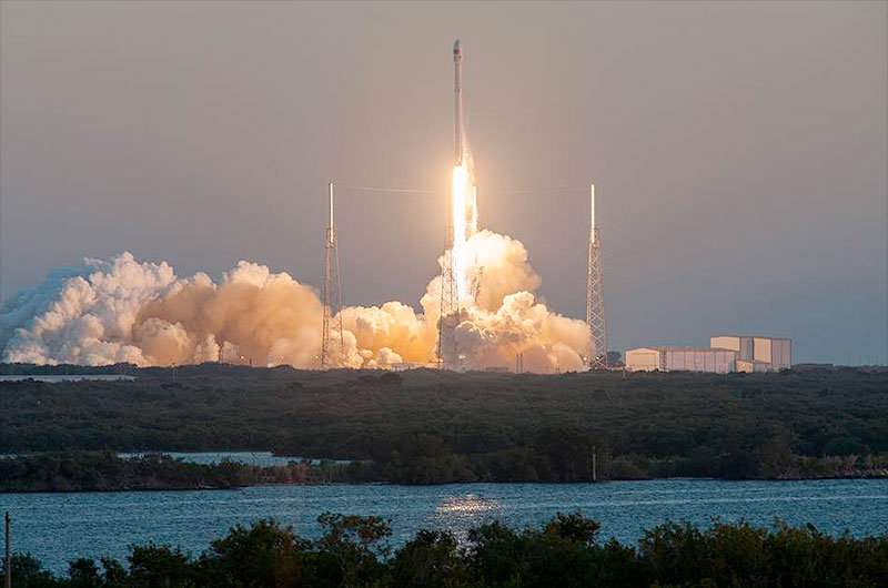
DSCOVR lifted off Wednesday (Feb. 11) at 6:03 p.m. EST (2303 GMT) atop a SpaceX Falcon 9 from Complex 40 at the Cape Canaveral Air Force Station in Florida. Launched under the auspices of the U.S. Air Force, the mission is a joint effort by NASA and NOAA (the National Oceanic and Atmospheric Administration).
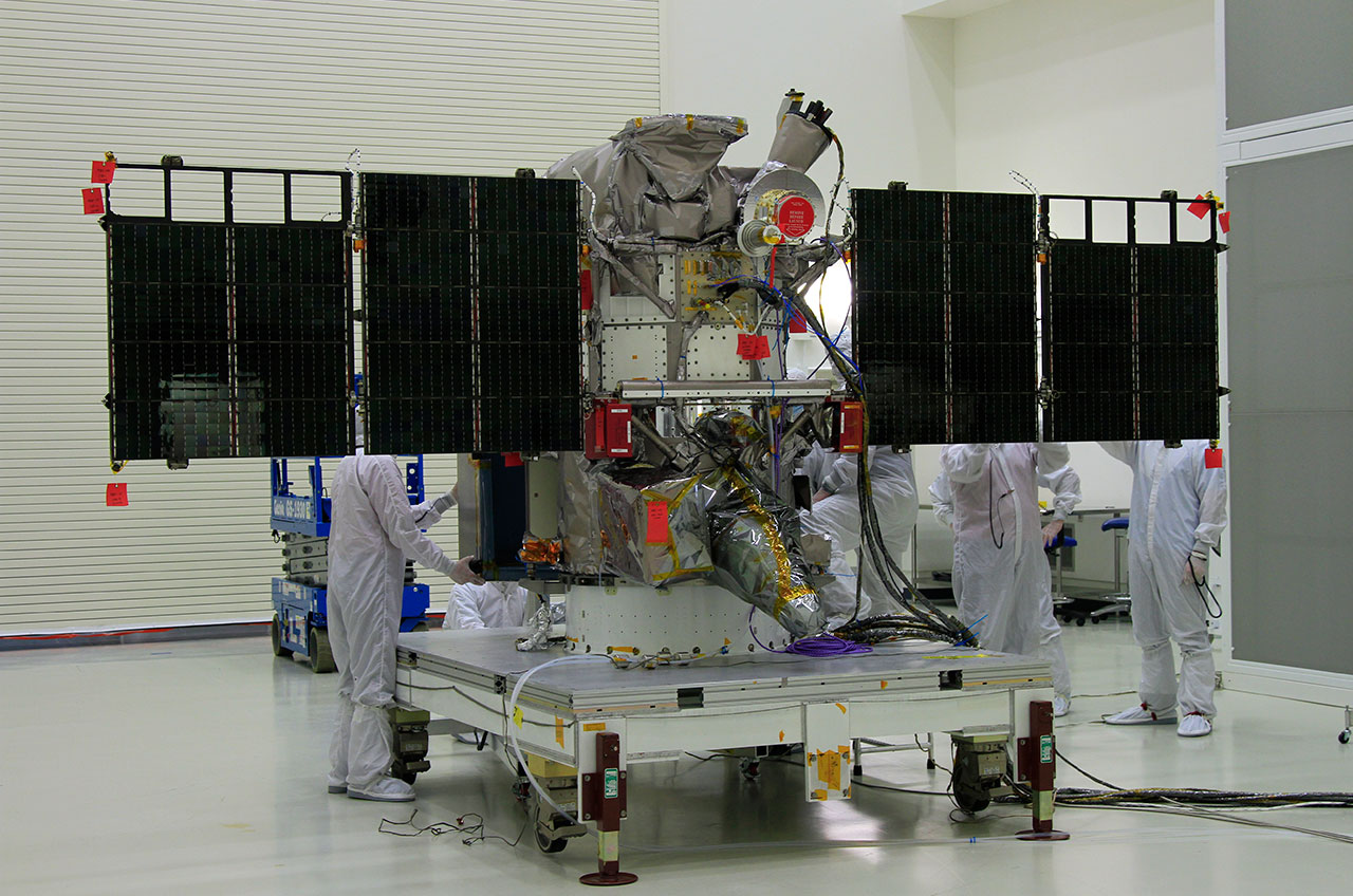
NOAA's Deep Space Climate Observatory (DSCOVR), seen being prepared for launch in November 2014. (NASA/Ben Smegelsky) |
DSCOVR, formerly known as Triana, began in 1998 as the idea of then-U.S. vice president Al Gore, who proposed a satellite capable of providing live images of the full Earth for research and to inspire environmental awareness. But in 2001, after political disputes over the mission (which was dubbed "GoreSat" by its detractors) and a change in presidential administrations, the mission was mothballed and the spacecraft, already built, was put into storage.
NASA, NOAA and the Air Force resurrected the mission in 2009, giving the satellite a new primary mission to serve as a space weather early-warning outpost. DSCOVR will act as partner and eventual replacement to NASA's long-lived Advanced Composition Explorer, a satellite that has been performing a similar mission in the same region of space since 1997.
"DSCOVR will serve as our tsunami buoy in deep space," Tom Berger, director of NOAA's Space Weather Prediction Center in Boulder, Colorado, said.
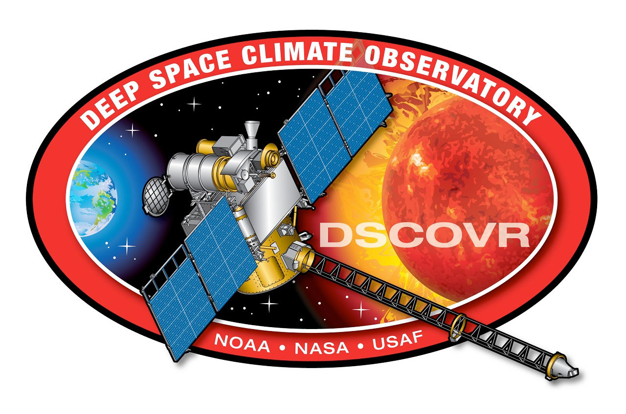
Deep Space Climate Observatory (DSCOVR) official logo. (NOAA) |
DSCOVR, from its position four times farther out than the moon, will be able to provide 15 to 60 minute warning time before the surge of particles and magnetic field, known as a coronal mass ejection, associated with a geomagnetic storm reaches Earth. These storms, which are caused by changes in solar wind, have the potential to disrupt public infrastructure systems, including power grids, aviation and GPS.
DSCOVR will also fulfill, in part, its original purpose. The Earth Polychromatic Imaging Camera (EPIC) will provide images of the sunlit side of Earth for science applications such as ozone, aerosols and clouds. The images won't be live, but will be available about a day after they are taken.
"What we've had is a swap of primary mission objectives," said Steven Clarke, the director of NASA's joint agency satellite division. "Triana was primarily focused on Earth observing and Earth science, with space weather being secondary. Now space weather is the primary objective for DSCOVR."
"We did have space weather instruments on board Triana, but now they have become the primary objective for this mission," Clarke said.

View of the Earth as seen by the Apollo 17 crew traveling toward the moon in December 1972, known as the "Blue Marble." (NASA) |
Still, says Gore, the images that DSCOVR sends back of Earth can serve an important purpose.
"[The] astronauts on Apollo 17 captured a picture of Earth unlike any other in history," Gore wrote in an invited essay for Scientific American. "The 'Blue Marble' image showed the side of our Earth fully illuminated by the sun while suspended in the vast emptiness of space. It was the first image to show the true, undistorted full face of our planet, its fragility and magnificence bound in one blue sphere."
"[The DSCOVR mission] offers an opportunity to recapture that wonderment, excitement and curiosity that was first inspired by the Blue Marble," he continued. "This satellite and its instruments will give humanity a new vantage point from which to view the boundaries and vulnerability of Planet Earth."